Portugal
So close but so far apart... The culture and motorcycle riding in Portugal are very different. In a good way...

Our Portuguese adventure starts gently, scrolling through the hills to the N-222 at Peso da Régua. Down at river level it’s largely straight and flat, but the view across the water to the terraced hills is lovely and I find myself enjoying this relaxed cruise beside the broad flow of the Douro.
The riding goes up a gear as we turn off - as do the views. Clambering up the M-504 opens up an astonishing panorama down over the river. The road’s poorly surfaced at first, so I worry it’s a mistake - but leaving Valença do Douro it becomes smooth, broad and hugely engaging. Speeds rise as we head south, picking up the N-229 and then the N-330... This is astonishing riding, empty roads that seem to be made up from equal parts of distance-gobbling straights and reproductions of GP corners.
But this is just the warm-up, the support races, if you like. The headline event is looming on the horizon – the brooding mass of the Serra da Estrela mountains. From Gouveia we head into them on the N-232, a liquorice lace draped across a toast rack, climbing to above the tree line.
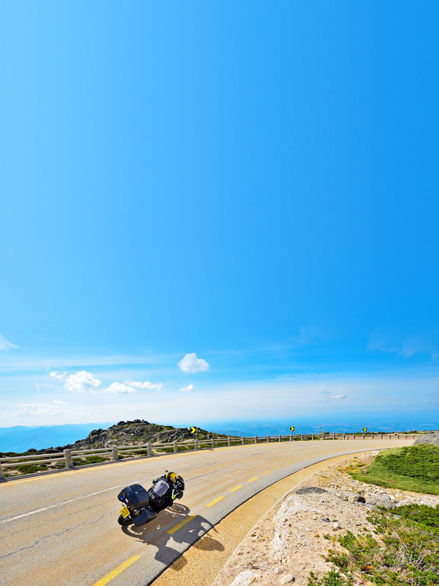
At Seia we pick up the road we’re here to ride: the N-339, often called the ‘Portuguese Stelvio’. It’s different to the ultra-tight Italian pass but deserves to be mentioned in the same breath as it’s absolutely one of the finest rides in Europe. The landscape it crosses is beautiful in an austere, rocky way. There is some greenery, but there’s also the insane right-angled retaining walls of the Lake Comprida.
The higher the N-339 climbs, the more awesome it becomes, huge switchbacks and long, constant-radius corners past huge boulder fields and patches of low, scrubby scree and sand. At the top, we have an ice cream. The descent to Covilhã is no less thrilling. In fact, it might be even more dramatic. The views are wide-screen spectacular, but the straights are longer to start with, cutting down past the Madonna carved into a niche in the rocks, swinging round and down in clipped corners and a couple of dramatic hairpins to the town. What a ride.
OTHER MOTORCYCLE ROUTES IN PORTUGAL
100 THE DOURO VALLEY
Start/finish Vila Real
Distance 185 miles
Riding time 6 hours The Douro Valley is famed for its Port-growing vineyards, but it should be famous for the amazing roads that scramble through the steep, terraced hills. The riding’s so good it’s intoxicating – it’s a candidate for the best day’s ride in this guide.
Route map, Download GPX files
101 GERÊS
Start/finish Gerês
Distance 145 miles
Riding time 5 hours
There’s a wild beauty to the Gerês National Park – and to the roads around it. This route loops over the border into Spain before the final, twisty descent along the toll road through the park.
Route map, Download GPX files
102 VISEU VIEWS
Start/finish Viseu
Distance 200 miles
Riding time 7 hours
Viseu’s a big city, but it’s surrounded by amazingly empty hills. This full day’s ride puts the corner count off the chart as it spirals its way through fragrant forests, getting as far north as the River Douro.
Morning route map, Afternoon route map, Download GPX files
103 CASTELO BRANCO
Start/finish Castelo Branco
Distance 170 miles
Riding time 5.5 hours
Castelo Branco’s a nice small city on the edge of Portugal’s rugged hinterland. That lets this route build up, with the roads getting twistier as the day goes on. An absolutely belting ride in an amazing landscape.
Route map, Download GPX files
104 WANT MOURA?
Start/finish Moura
Distance 195 miles
Riding time 5 hours
A rewarding day of smooth riding, ideal for a pillion couple looking for a long but not taxing day. Crosses briefly into Spain, before looping back through some of the quietest countryside you’ll find in Portugal.
Route map, Download GPX files
Please note: This page contains the route files for The RiDE Guide to motorcycle touring in Spain and Portugal which came free with RiDE magazine in July 2018. These website page are not regularly updated, so please check all critical information before you travel. All route files are in .gpx format. Garmin and BMW users can download the main file, which contains all the routes and our recommended hotels as separate waypoints. TomTom users can download the individual routes and use the Tyre software to convert them. For many routes we also have Google Map links. However, as Google Maps will not plot routes over seasonally closed high Alpine passes (such as those in the Pyrenees) when they’re shut, these may not work for every route all year round.